Signal No 4 still up in parts of Cagayan, Ilocos Norte as 'Egay' moves away
MANILA, Philippines — Typhoon Egay (international name: Doksuri) maintained its strength as it headed toward Taiwan, state weather bureau PAGASA said Wednesday afternoon.
Egay was last spotted 70 kilometers west northwest of Calayan in Cagayan with maximum sustained winds of 175 kph near the center and gusts of up to 240 kph. It was moving northwest at 10 kph.
The country’s fifth cyclone of the year continues to batter extreme northern Luzon with strong winds and heavy rain.
“Violent, life-threatening conditions are expected to continue over Babuyan Islands, the northwestern portion of mainland Cagayan, and the northern portions of Apayao and Ilocos Norte in the next six hours,” PAGASA said in a bulletin issued past 5 p.m.
The weather agency hoisted tropical cyclone warning signals in the following areas:
Signal No. 4
- northwestern portion of Cagayan (Claveria, Sanchez-Mira, Pamplona, Abulug, Ballesteros, Santa Praxedes) including Babuyan Islands
- northern portion of Ilocos Norte (Burgos, Bangui, Dumalneg, Pagudpud, Adams)
Significant to severe threats to life and property are expected in these areas.
Signal No. 3
- Batanes
- northern and central portions of Cagayan (Gattaran, Lal-Lo, Alcala, Allacapan, Lasam, Baggao, Amulung, Rizal, Santo Niño, Piat, Santa Ana, Gonzaga, Santa Teresita, Buguey, Camalaniugan, Aparri)
- rest of Ilocos Norte
- Apayao
- northern portion of Abra (Tineg, Lagayan, Lacub, Danglas, San Juan)
- northern portion of Ilocos Sur (Cabugao, Sinait)
Moderate to significant impacts from storm-force winds may be experienced within these areas.
Signal No. 2
- Kalinga
- Mountain Province
- Ifugao
- Isabela
- rest of Cagayan
- rest of Ilocos Sur
- rest of Abra
- northern and central portions of La Union (Luna, Caba, Santol, Bauang, City of San Fernando, San Juan, Bagulin, Bangar, San Gabriel, Burgos, Naguilian, Bacnotan, Sudipen, Balaoan, Aringay)
- northern and central portions of Benguet (Mankayan, Kapangan, Atok, Kabayan, Kibungan, La Trinidad, Sablan, Bakun, Buguias, Tublay, Bokod)
Minor to moderate impacts from gale-force winds are possible within any of these areas.
Signal No. 1
- Quirino
- Nueva Vizcaya
- Aurora
- Pangasinan
- Nueva Ecija
- Tarlac
- Zambales
- Bataan
- Bulacan
- Pampanga
- Metro Manila
- Cavite
- Rizal
- Laguna
- rest of La Union
- rest of Benguet
- northern portion of Quezon (Infanta, General Nakar, Real, Lucban, Sampaloc, Mauban) including Pollilo Islands
Minimal to minor impacts from strong winds are possible in these areas.
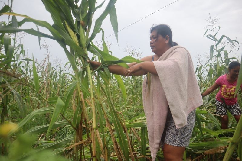
At least one person from Rizal was reportedly killed and 180,000 people were affected by Egay and the southwest monsoon, the National Disaster Risk Reduction and Management Council reported Wednesday.
The province of Ilocos Norte was placed under a state of emergency due to Egay. The declaration of a state of calamity allows the provincial government to use quick response funds and control prices of basic goods.
What to expect
PAGASA said that heavy rain from Egay will affect the following areas in Luzon until Thursday afternoon:
- Above 200 millimeters: northwestern portion of Cagayan including Babuyan Islands, and Ilocos Norte
- 100 to 200 mm: Batanes, Ilocos Sur, rest of Cagayan, Apayao, and Abra
- 50 to 100 mm: Zambales, and rest of Cordillera Administrative Region and Ilocos Region
PAGASA warned that landslides and floods are “highly likely” in areas that are very susceptible to these hazards and in areas that experienced considerable amounts of rainfall for the past several days.
Egay will continue to enhance the southwest monsoon, which will dampen the western portions of central Luzon, southern Luzon and Visayas in the next three days.
The cyclone and the enhanced southwest monsoon will also bring gusty conditions in areas in Luzon and Visayas that are not under any wind signal.
Weather forecasters warned that storm surges of more than three meters may cause flooding in the low-lying and exposed coastal areas of Batanes, Cagayan including Babuyan Islands, Ilocos Norte, and portions of Isabela and Ilocos Sur.
Egay is expected to weaken slowly. It will exit the Philippine Area of Responsibility Thursday morning.
Scientists have warned that cyclones are becoming more powerful and destructive as the world becomes warmer because of climate change. The Philippines is one of the world’s most vulnerable countries to the effects of the climate crisis.
Forecast position
- July 27, 2023 2:00 a.m. - 215 km west of Basco, Batanes
- July 27, 2023 2:00 p.m. - 315 km west northwest of Itbayat, Batanes (outside PAR)
- July 28, 2023 2:00 a.m. - 485 km northwest of Itbayat, Batanes (outside PAR)
- July 28, 2023 2:00 p.m. - 715 km northwest of Itbayat, Batanes or in the vicinity of Fujian, China (outside PAR)
- July 29, 2023 2:00 a.m. - 970 km northwest of extreme northern Luzon or in the vicinity of Jiangxi, China (outside PAR)


- Latest
- Trending