Babuyan's Camiguin Island under Signal No. 5 as 'Egay' moves closer
MANILA, Philippines — PAGASA raised Wind Signal No. 5—its highest cyclone warning—over the eastern portion of Babuyan Islands due to the threat of Super Typhoon Egay (international name: Doksuri).
Egay was moving closer to the northern tip of the Philippines, with the center of its eye last seen 230 kilometers east northeast of Tuguegarao City or 240 km east of Aparri in Cagayan, the state weather bureau said in its latest bulletin.
The super typhoon maintained its peak winds of 185 kph near the center and gusts of up to 230 kph.
Moving northwest at 20 kph, Egay was expected to make landfall or pass very close to Babuyan Islands-northeastern mainland Cagayan area between late Tuesday and Wednesday morning. But a slight shift in its track may result in a landfall or close approach over mainland Cagayan or Batanes.
PAGASA raised Tropical Cyclone Wind Signals over the following areas due to Egay:
Signal No. 5
- eastern portion of Babuyan Islands (Camiguin Island)
Resident of this area may expect heavy damage to widespread damage from very strong winds.
Signal No. 4
- northeastern portion of mainland Cagayan (Santa Ana and Gonzaga)
- rest of Babuyan Islands
Significant to severe threats to life and property are expected in these areas.
Signal No. 3
- northeastern portion of Isabela (Divilacan, Maconacon, Palanan, Santa Maria, San Pablo, Santo Tomas, Cabagan, Tumauini)
- rest of Cagayan, Apayao, eastern portion of Ilocos Norte (Vintar, Adams, Pagudpud, Dumalneg, Nueva Era, Carasi, Bangui, Piddig, Solsona)
- northeastern portion of Kalinga (Rizal, Pinukpuk)
- Batanes
Moderate to significant impacts from storm-force winds may be experienced within these areas.
Signal No. 2
- rest of Isabela
- northern and central portions of Aurora (Dilasag, Casiguran, Dinalungan, Dipaculao)
- Quirino
- rest of Kalinga
- northeastern portion of Nueva Vizcaya (Kasibu, Quezon, Diadi, Bagabag, Ambaguio, Villaverde, Solano, Bayombong)
- rest of Ilocos Norte
- Ilocos Sur
- Abra
- Mountain Province
- Ifugao
- northern portion of Benguet (Bakun, Mankayan, Buguias, Kabayan, Kibungan, Atok)
- northern portion of La Union (Bangar, Sudipen, Luna, Balaoan, Santol)
Minor to moderate impacts from gale-force winds are possible within any of these areas.
Signal No. 1
- Quezon including Pollilo Islands
- rest of Aurora
- rest of Nueva Vizcaya
- rest of Benguet
- rest of La Union
- Nueva Ecija
- Pangasinan
- Tarlac
- Zambales
- Bulacan
- Pampanga
- Bataan
- Marinduque
- Cavite
- Metro Manila
- Rizal
- Laguna
- Batangas
- Camarines Norte
- Camarines Sur
- Albay
- Catanduanes
Minimal to minor impacts from strong winds are possible in these areas.
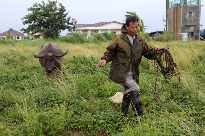
Over 16,000 people from Ilocos Region, Calabarzon, Bicol Region, Western Visayas and northern Mindanao have been affected by super typhoon Egay and the southwest monsoon, the National Disaster Risk Reduction and Management Council reported.
Heavy rain, storm surge
The state weather bureau said that heavy rain from Egay will affect the following areas in Luzon today:
- Above 200 millimeters: Northern portion of mainland Cagayan including Babuyan Islands, Batanes, Ilocos Norte and Ilocos Sur
- 100 to 200 mm: Northern portion of La Union and the western portion of Kalinga
- 50 to 100 mm: Isabela, northern portion of Zambales, and the rest of Ilocos Region and Cordillera Administrative Region
PAGASA warned that forecast rainfall is generally higher in elevated or mountainous areas, with landslides and flood “highly likely.”
The southwest monsoon enhanced by Egay will continue to dump occasional rain to monsoon rain over the western portions of central Luzon, southern Luzon and Visayas in the next three days.
Egay and the enhanced southwest monsoon will also continue to bring gusty conditions in areas in Luzon and Visayas that are not under any wind signal, Zamboanga Peninsula, Basilan, Sulu, Tawi-tawi, and the northern portions of northern Mindanao and Caraga.
Storm surges of more than three meters may cause flooding in the low-lying and exposed coastal areas of Batanes, Cagayan including Babuyan Islands, Isabela and Ilocos Norte, PAGASA warned.
It also warned that sea travel along the seaboards of Luzon, Visayas and northeastern Mindanao is risky for most vessels.
According to the agency, Egay is nearing its peak intensity, and “short window of high favorable environment in the near term” will allow it to either maintain its intensity in the next 12 hours or intensify slightly.
It is expected to leave the Philippine Area of Responsibility Thursday morning.
Scientists have warned that cyclones are becoming more powerful and destructive as the world becomes warmer because of climate change. The Philippines is one of the world’s most vulnerable countries to the effects of the climate crisis.
Forecast positions
- July 25, 2023 (Tuesday) 11:00 p.m. - 95 km northeast of Aparri, Cagayan
- July 26, 2023 (Wednesday) 11:00 a.m. - over the coastal waters of Calayan, Cagayan
- July 26, 2023 (Wednesday) 11:00 p.m. - 195 km west southwest of Itbayat, Batanes
- July 27, 2023 (Thursday) 11:00 a.m. - 280 km west northwest of Itbayat, Batanes (outside PAR)
- July 27, 2023 (Thursday) 11:00 p.m. - 440 km west northwest of Itbayat, Batanes (outside PAR)
- July 28, 2023 (Friday) 11:00 a.m. - 655 km northwest of Itbayat, Batanes (outside PAR)
- July 29, 2023 (Saturday) 11:00 a.m. - 1,075 km northwest of extreme Northern Luzon or in the vicinity of Jiangxi, China (outside PAR)
— Gaea Katreena Cabico


- Latest
- Trending